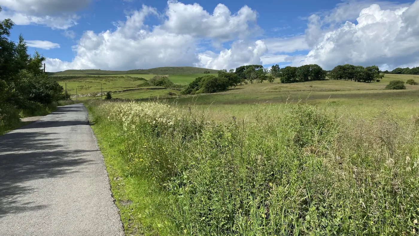
The Kilsyth Hills form the continuous bluff along the northern edge of the Central Lowlands that hides the Highlands from view. Climbing Tomtain and Garrel Hill, the highest points in North Lanarkshire, however, reveals all.
From the summit of Tomtain there are excellent views over the Carron Valley of the Southern Highlands and across the central valley to the Southern Uplands.
Nearby Kilsyth is one of only two official “Walkers Welcome” towns in Scotland.
Eighteenth century Colzium House is at the centre of Lennox estate, which is also home to the ruins of 15th-century Colzium Castle. It’s here that the 1645 battle of Kilsyth, fought between the Royalists and the Covenanters, took place. The parklands feature a walled garden and one of the world’s oldest curling ponds.
Near Colzium Burn is an old ice house, which was built in 1680 to preserve meat and game.
Located at the top of Colzium Glen, the mutch was built as a shelter and rest spot. The weight and precision of the masonry of this small semi-domed structure are impressive.
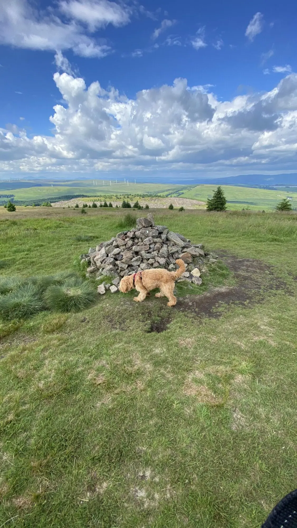
The graves are marked by two cairns, located a short distance from the summit of Tomtain. Chapmen were travelling salesman, who feature in folklore as murderers or victims of murder. In this case, one Chapman murdered the other and when the murderer was executed, he was buried alongside his victim.
Note: To visit the Chapmen’s graves and climb Garrel Hill (small cairn) continue along the stone dyke (wall) to the west from Tomtain.
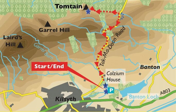
The Kilsyth Hill range sits to the northern edge of the Central Lowlands and a walk to Tomtain at 1486ft above sea level (453m) – and one of the highest points in North Lanarkshire – reveals beautiful and wide sweeping views of over the lush Carron Valley and north towards the Scottish Highlands.
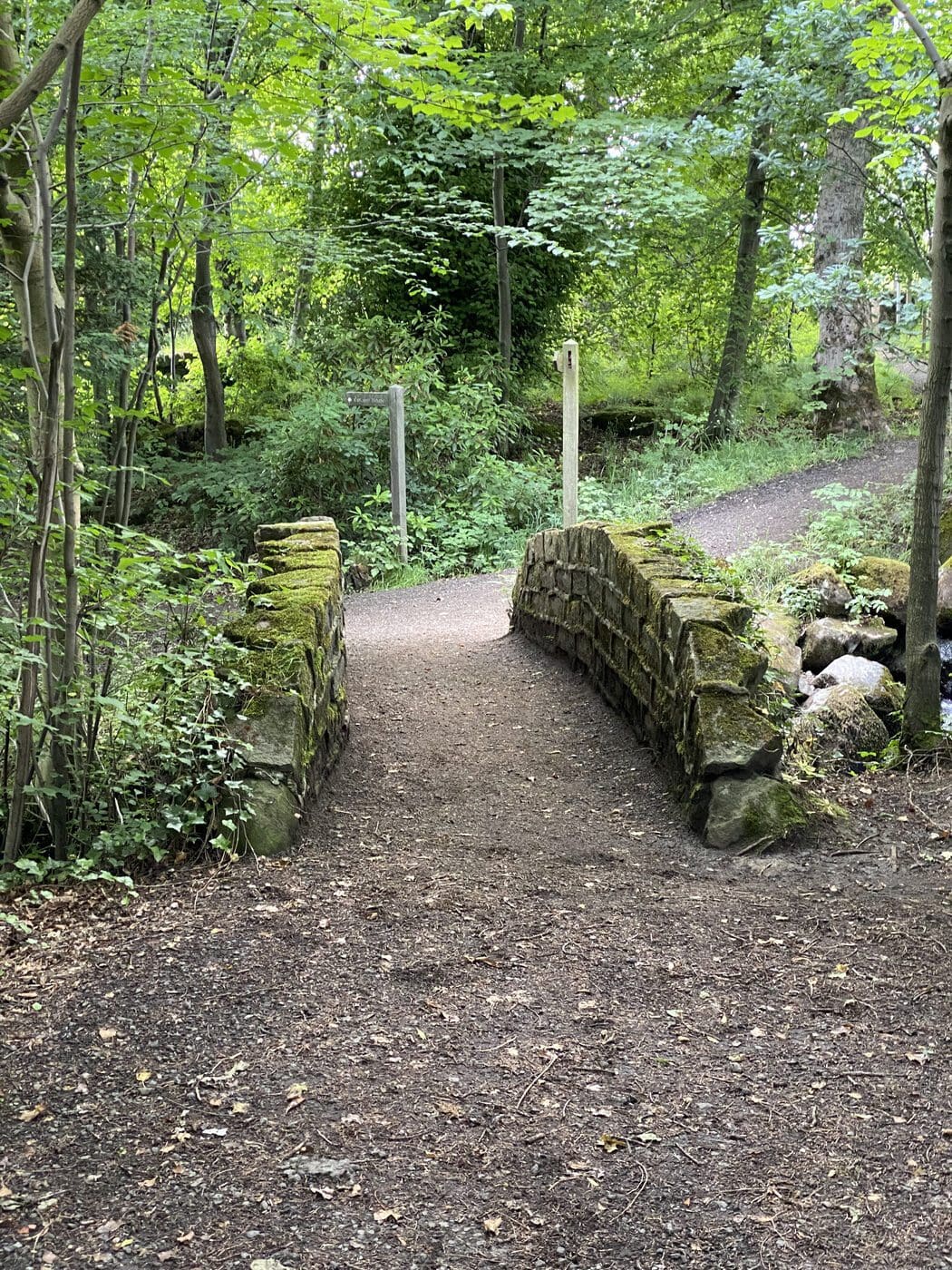
Starting at Colzium House, go to the right but do not cross the bridge.
Go to the left to follow signs for ice house, glen nature trail and Granny’s Mutch.
The path follows a burn upstream.
Cross a stone bridge and continue upstream. At the top waterfall, cross a bridge and go immediately right to follow path to a road.
Turn right and follow Tak-Ma-Doon Road uphill to reach a car park and viewpoint. This is the highest point on the road, and there is a viewpoint with spectacular views of Lanarkshire and beyond to the south and east.
Walk downhill, still on the road, and then turn left at green gate to gain a footpath.
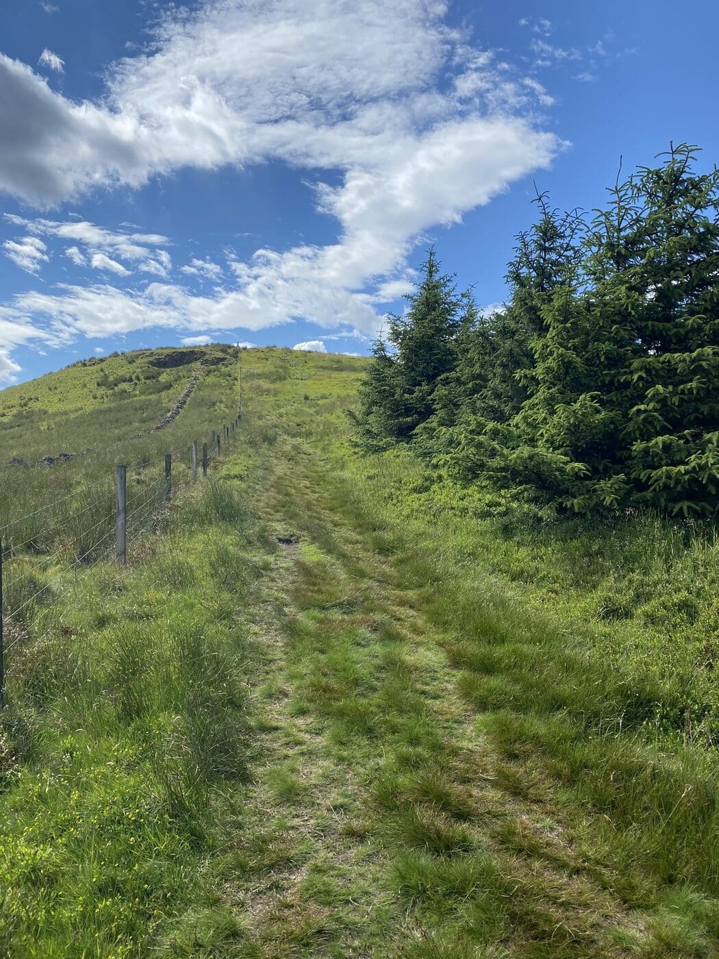
Follow the footpath alongside a fence and stone dyke that skirts forestry to reach the summit of Tomtain.
Retrace your outward route to return to Colzium House.